I consider myself a rebel. I fight against the misconception that science is contrary to God, against the dogma handed us by pompous bullying professors who never venture outside the opinions of their colleagues. Their inability to recognize new truths is seen most clearly in their refusal to admit Darwinism is a failed theory, that it cannot possibly account for the technology and complexity of life. To insist that the human brain, with technology so fantastic we cannot begin to comprehend how it works, “evolved” from a Darwinian process of keeping the best mistakes is to me the apex of stupidity, the most pathetically sad example of deliberate blindness to the facts, and the most cowardly acquiescence to the status quo.
And so it was with delight that I stumbled upon a book overturning, with hard evidence and detailed scientific analysis, the accepted history of civilization. The book is Maps of the Ancient Sea Kings, by Charles Hapgood. As the preface begins, “This book contains the story of the discovery of the first hard evidence that advanced people preceded all the peoples now known to history.”
The book begins with the discovery, in 1929, of a map created in 1513 by a Turkish Admiral known to us as Piri Re’is. Piri stated that he based his map on 20 older maps, including 8 from the time of Alexander the Great. The map uses a sophisticated understanding of the spherical trigonometry of map projections. Even more amazing, the map shows South America and Africa in correct relative longitude. Latitude, the extent to which one is north or south on the globe, can be measured relatively easily, such as by measuring the angles above the horizon of astronomical objects. But latitude, the extent to which one is east or west of some north-south line on a map, requires advanced technology, particularly at sea. It could not be reliably determined in western civilization until the invention in the late 1700s of clocks that remained accurate during sea voyages.
The center of the map is the intersection of the meridian of Alexandria (a north/south line running through Alexandria in Egypt) and the Tropic of Cancer. This confirms that the original maps go back to the time of Alexander. The Piri map is based on an overestimate of 4.5% in the circumference of the Earth. This exact mistake by made by Eratosthenes (276 BC to 194 BC). When the map was redrawn to eliminate this error, all of the longitude errors in the map were essentially eliminated. This suggests the ancient Greek mapmakers had before them source maps without the Eratosthenes error.
Perhaps the most astonishing feature of the Piri map is that is depicts the coastline of Antarctica without ice. Antarctica was supposedly unknown until 1773. Modern seismic maps disclose that beneath the ice cap the coast of Queen Maud Land is rugged. The Piri map shows this, including two bays where the seismic maps first showed land. When experts were asked to check their measurements, they found the Piri map was correct. The Piri map shows a mountain range in Antarctica that was discovered in 1952. Someone mapped Antarctica before it was covered in ice!
The Piri map is genuine. No one in 1929, let alone 1513, let alone at the time of Alexander the Great, possessed the technology and the geographical knowledge to draw this map. The Piri map is not alone. One reader summarized: “The Orontius Fineus map of 1531 shows rivers in Antarctica where today mile-thick glaciers flow; the Hadji Ahmed map of 1559 depicts the Ice Age land bridge that existed between Siberia and Alaska. The Zeno brothers, in 1380, may have accurately pictured the topography of Greenland below the northern icecap, while the Andrea Benincasa map of 1508 indicates that northern Europe was covered by the farthest advance of the Ice Age glaciation.”
Hapgood’s book describes other amazing maps. Some show islands that are now submerged, and river deltas that have since been much enlarged. The original source maps were produced by an advanced civilization that perished thousands of years ago.
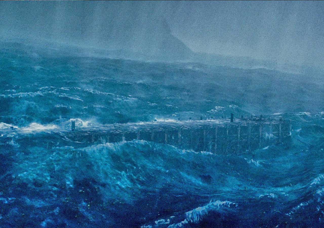
This is exactly what the Bible claims. The Bible states that a great flood, the flood of Noah, destroyed civilization as it then existed. Noah had 120 years to build the ark and prepare for the flood; surely he preserved technology then in existence. Genesis 10:25 tells us of Noah’s great-great-great-great-grandson “named Peleg, because in his day the Earth was divided.” Peleg means division, and a more accurate translation of the original Hebrew could be “in his day the Earth was measured and surveyed.” The Bible indicates that Peleg and his contemporaries surveyed the post-Flood world 4,500 to 4,800 years ago.
Hapgood’s book was first published in 1966. Most history professors are either unaware of it or choose to ignore it. Like Darwinian biologists, they are afraid to risk criticism. But the maps are hard evidence that the Bible is accurate. Human beings are devolving, not evolving (Second Law of Thermodynamics, look it up!), and early humans not only possessed superior brains but lived for many hundreds of years, and developed advanced technology.
Many choose to ignore evidence that contradicts their beliefs. I delight in it. I will give you more hard evidence of ancient, advanced civilizations in future posts.
Thanks for reading. True science and reason point directly to God. Please share the good news. Together we can change the world.


Leave a Reply